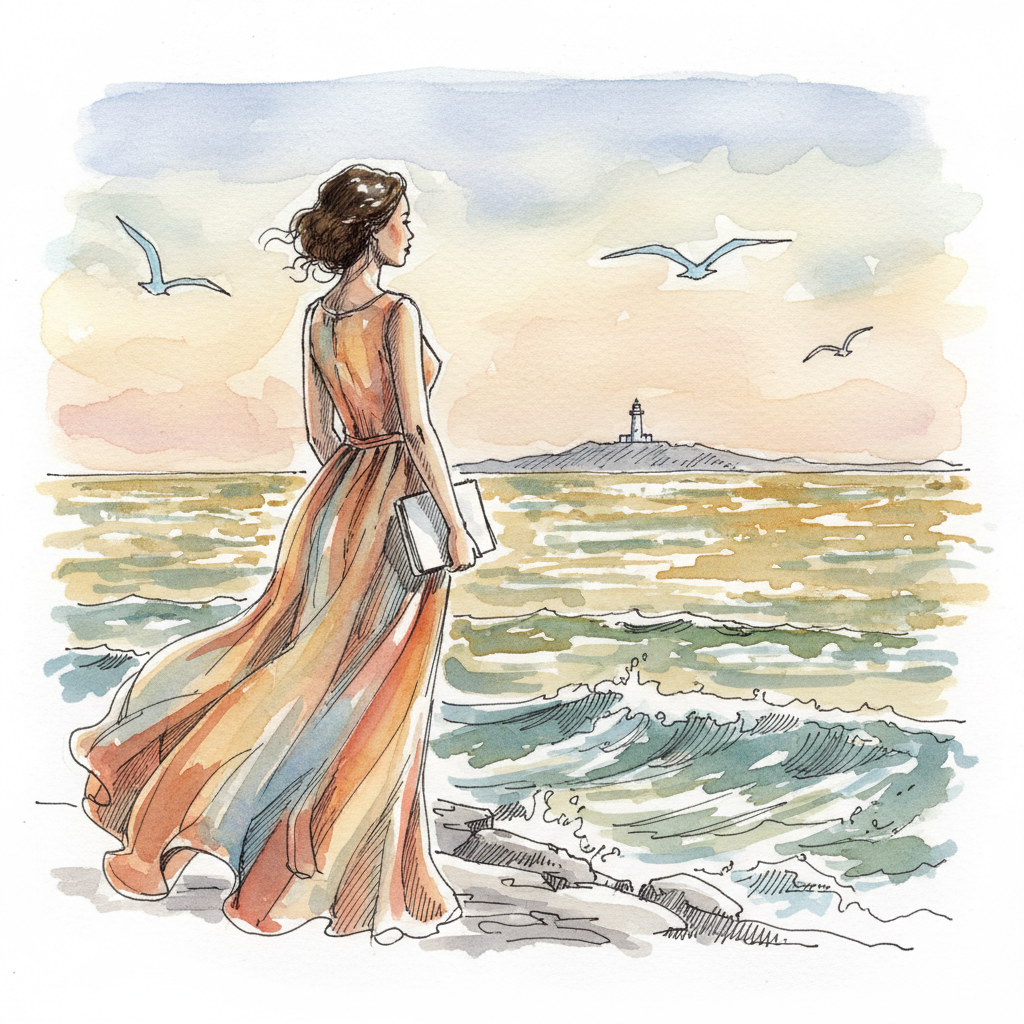
A grid that ends at the water
The island of Saint-Louis was laid out on a plan, and you can still feel the plan under your feet. Wikipedia's entry on the island says the town was founded as a French colonial settlement in the 17th century, urbanised in the mid-19th century, and was the capital of Senegal from 1872 to 1957. Its regular street plan, its system of quays and its colonial architecture are what UNESCO recognised when it inscribed the island in 2000. I walked the straight streets this morning and each one ran toward the river and stopped at a quay, as if the town had been drawn to be looked at from the water.
The houses are two and three storeys in places, painted ochre, pale blue and cream, with wooden shutters and wrought-iron balconies. Some have red-tiled roofs and others are flat-topped. Most face the street with a single door and a shutter, which is where I stopped.

The same Wikipedia page also notes that the island is on the IPCC's list of African cultural sites that could be threatened by flooding and erosion this century, if emissions follow the highest scenario. It is not considered the most likely one. Still, the quays at the end of every street are the first thing the water would reach, and I looked at them differently for it.

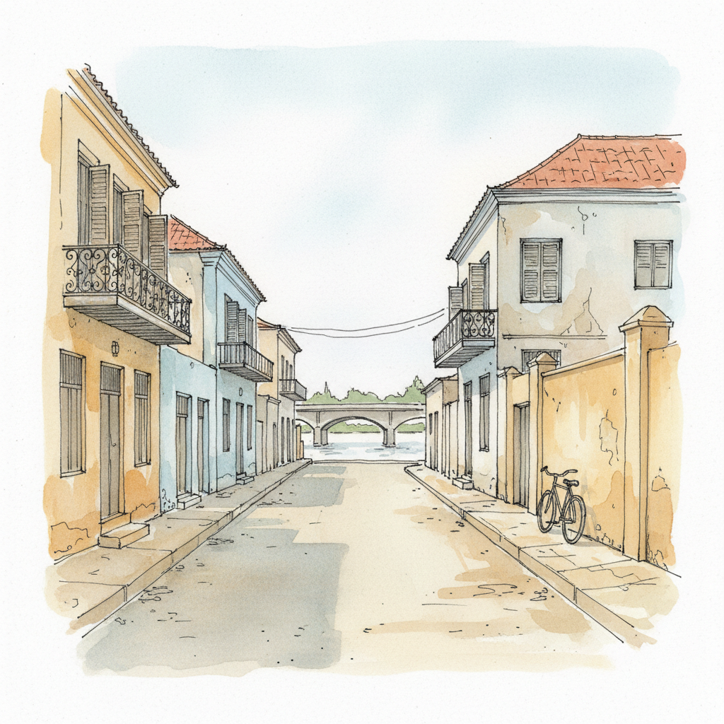
Doors that face the street
A city drawn in straight lines runs each one down to the river and stops, politely, at the quay.
The shutters are half open. Someone painted this blue long ago and the blue is still arguing with the sun.
The bollards are iron, the rope is old, and the water is brown and patient and nowhere near a hurry.
I am a doorway person. I stood at one for a long time today and nobody came out to ask why.